India’s Slow Disappearance Under China Due to Tectonic Shifts: A Geological Tug-of-War
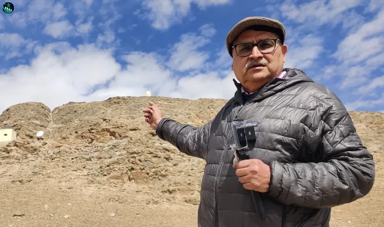
In the high-altitude landscapes of Ladakh’s Hanle, the ongoing tectonic tug-of-war between the Indian and Eurasian plates tells the tale of India’s slow but steady geological retreat. While recent military tensions along the Line of Actual Control (LAC) have eased, beneath the surface, the Indian landmass continues to be squeezed under the Tibetan plate at an unrelenting rate of 5-6 centimeters per year. This ongoing geological process, observed by scientists over decades, is not only shrinking the Indian landmass but also plays a significant role in the seismic activity in the Himalayan region.
The Tectonic Drama Unfolding Beneath the Himalayas
For over 60 million years, the Indian tectonic plate has been pushing northward. This movement began when the supercontinent Gondwanaland split, propelling India as an isolated landmass towards the Eurasian plate. Approximately 10-15 million years ago, this “floating island” collided with Asia, giving rise to the towering Himalayan range, which continues to grow at about 5 millimeters per year. The constant push from the Indian plate creates tension beneath the surface, which occasionally releases as earthquakes—a grim reminder of nature's power and unpredictability.
Earthquake Risks in the Himalayan Region
As the Indian plate slips beneath the Tibetan plate, it creates enormous stress within the Earth’s crust, similar to the tension in a stretched rubber band. When this stress releases, it triggers powerful earthquakes. Some parts of the Himalayas have not experienced a significant earthquake for over 500 years, leading scientists to speculate that a major seismic event may be overdue. Although predicting earthquakes remains impossible, scientists emphasize the importance of constructing resilient, earthquake-proof structures to protect lives in these vulnerable regions.
Tracking Tectonic Movements: Advanced GPS Monitoring
Indian scientists from the CSIR Fourth Paradigm Institute (CSIR-4PI) in Bengaluru have established high-precision GPS reference stations to monitor this slow-motion collision. By comparing data from stations on both the Tibetan plate in Hanle, Ladakh, and Bengaluru, they track the relative movement of these plates. Over the past 25 years, Hanle itself has shifted nearly 85 centimeters northeast, while Bengaluru has moved about 1.37 meters in the same direction. This movement constantly builds stress, setting the stage for future seismic activity.
The Ongoing Saga of Continental Drift
The Indian plate’s journey, often called the “mega breakup,” is a reminder of Earth’s dynamic nature. Formed near the African continent, the Indian landmass drifted for millions of years before merging with Asia. This ancient collision continues to shape the Himalayas and the seismic profile of the region. As Dr. Sridevi Jade, Director of CSIR-4PI, explains, while India is unlikely to vanish soon, the country’s landmass will continue its slow movement northward.
Conclusion: India’s Landmass at the Mercy of Natural Forces
Although India's gradual tectonic movement may not immediately affect everyday life, understanding these forces is crucial for disaster preparedness, especially in earthquake-prone areas. As scientists continue to monitor these shifts, the findings underscore the need for vigilance and advanced infrastructure to withstand the unpredictable forces shaping the Himalayan region.


Recent Comments: